
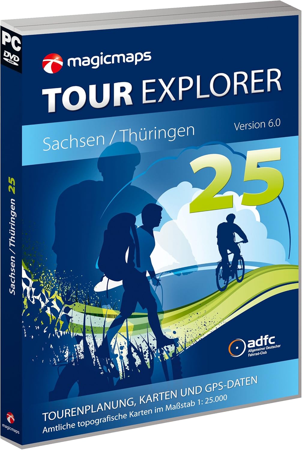
MagicMaps Route Planning Software DVD Tour Explorer 25 Th V6.0 Thuringia, FA003560029
Product details
| Management number | 215125530 | Release Date | 2026/04/12 | List Price | $25.42 | Model Number | 215125530 | ||
|---|---|---|---|---|---|---|---|---|---|
| Category | |||||||||
The Tour Explorer 25 Saxony/Thuringia version 6.0 is a catchy and functional software for anyone who wants to plan their hikes and bike tours themselves. You decide where the track starts and where it ends. You determine how difficult it is and how long it lasts. You do your own tour! Here's how it works: When hiking or cycling or whatever else you plan to do outside, you do not necessarily want to get from A to B as fast as possible, but you want a nice route, a difficult track with many altitude metres, or a light, a track with a certain length or a certain duration. The Tour Explorer includes a routable network of routes that allows calculation according to such criteria. The fine tuning of individual track sections can be done at any time via the many editing functions. Now you go! Tour ready? Then nothing like going! Print your own hiking map with the planned route on paper. Or you can send it to your GPS device. Or to your iPhone or Android smartphone. With the matching app "Scout", you can also transfer the map section required for the tour. Transfer the detailed grid maps from Tour Explorer Germany to your iPhone, Android smartphone or GPS outdoor devices from Garmin, Falk, Lowrance or VDO! New in version 6.0: New map data from the Federal Office for Cartography and Geodesy with up-to-date status 2012* New, very extensive road, route and POI data from the OpenStreetMap Routing on hiking trails possible for the first time. Connection to MagicMaps Live, the new online portal vn MagicMaps Advanced interface functions to different GPS device manufacturers, e.g. Direct map data export Functions: NEW: Hiking trails of the OpenStreetMap (OSM) Comprehensive location and POI database, house number accurate search for addresses with street names, house numbers and coordinates (geocaching). Combined routing on the ADFC bike path network (approx. 270,000 km in Germany) and the leisure trail network of OSM (address-accurate input of start, destination and intermediate stations, representation of the road texture, routing on long-distance cycling routes. NEW: Connection to MagicMaps Live allows easy management of tour data. Convenient printing functions for printing as a paper card: print along a tour, poster printing GPS assistant for transferring tours and map sections to numerous GPS devices (Garmin: custommap-enabled outdoor devices, Falk IBEX, Falk LUX, Lowrance, VDO). Exchange of tours and map cut-outs with smartphones via the app "Scout" for iPhone or Android smartphones. Official topographic maps and aerial data in detailed scale 1:25,000 in 2D and 3D representation Object manager for managing, storing and archiving tour projects with clear folder structure and additional GPS functions Accurate height model for exact profile measurements (25 m), representation and comparison of multiple profiles. 3D flight control with interactive compass Show streets, street names and POIs (petrol stations, hotels, etc.) Geotagging: Automatically link and display photos and GPS data, direct display of photos from online portal locr Tour suggestions of national cycling and hiking trails for cyclists and hikers with description and clear preview. Easy user guidance with extensive help menu Interactive tutorial with numerous tips for using Regular software updates to download from the MagicMaps website Support and Update Wizard * The individual map sheets have update cycles of 4-8 years, depending on the competent state survey office, i.e. the age of the map sheets within the data stock varies. Product description Top graphic map with routing network Maps and data At the heart of planning your own tours is the 2D map view with the detailed topographic maps of the state survey offices. The large work surface allows a quick overview. The required card cut-outs can be printed out to scale. The extensive address database allows you to search for places, streets with house numbers or coordinates. The road network and POIs (hotels, restaurants, etc.) can be shown or hidden in the map. . Route calculation with Tour Explorer routing The routing functionality in Tour Explorer relies on quality. The aim is to provide routes that are particularly suitable for hiking or cycling for routing. For planning bike tours, a tested cycle path network of the ADFC is therefore available. The path texture can be displayed in 3 categories in colour, so that you can quickly estimate which route is suitable for individual requirements. For the first time, hiking tours can also be calculated via the routing function. The hiking trails are highlighted in red in the path network. Thanks to the combination with the road data from OpenStreetMap, you can calculate your tours comfortably from the front door. Numerous settings adapt the route to your personal needs. Even multi-day tours over long distances are calculated quickly. . Height profile. Height profile. With one click you know everything about your tour. The maximum slope, length or duration, the sum of the altitude metres. The height and distance profile gives the answer. The height profiles of different tours can be displayed and compared simultaneously. . Tour suggestions Tour suggestions Already included in the Tour Explorer are cycling routes and supra-regional hiking trails with tour descriptions. The tours can be accessed in the 2D map. You can then edit and print them or export them with one of the many interfaces. . Transfer data to GPS devices or smartphones. GPS interfaces All tours can be easily transferred to GPS devices and used directly for outdoor navigation. Tracks recorded with GPS devices can be imported and edited. Card cut-outs can also be exported to certain devices. Users of the app "Scout for iPhone" or "Scout for Android" can transfer map sections and tours to their smartphone via Wi-Fi. The Tour Explorer 50 is compatible with Quo Vadis 5. . 3D Functions 3D Functions In flight over the 3D landscape, you get an impression of what awaits you on a hike or bike tour. Even in retrospect, you can fly off and relive your routes again. This is particularly fun when you also display your photos along the track. . MagicMaps Live With the connection to MagicMaps Live, tour data can be easily stored and synchronised with other MagicMaps components. This eliminates the need for transferring tours to the smartphone. On the go, you can watch your tours in Tour Explorer Online. Online portals You can download shared photos from online portals, e.g. locr and get impressions of what you expect before your company. Tutorial Assistant The tutorial assistant appears when you first open the program and is designed to help you learn how to use. The instructions guide the application and show directly how to proceed step by step by highlighting the controls. Here you can find help quickly and easily. Data Material Official topographic maps in detailed scale 1:25,000 from current data of the state survey offices. Digital terrain model of the Federal Office for Cartography and Geodesy (25 metre locking extension). Hiking and leisure trail network, POI database (OpenStreetMap). Aerial image data and location database (geocontent) ADFC bike path network for interactive route planning. Long-distance cycling paths and national hiking tours System Requirements Pentium IV 2000 MHz with 2 GB RAM 3D graphics card (from OpenGL 1.3) with 128 MB RAM graphics card from nVidia from GeForce 5 or ATI from Radeon 8500 DVD-ROM drive (double layer). Operating system: Microsoft Windows 7, XP and Vista. Screen resolution: 1024 x 768 minimum resolution. Required space on hard disk: min. 10 GB (for program, possibly additional storage space for card data).
- Quality product
- Package dimensions (L x W x H) in mm 190.0 x 140.0 x 12.0
- Country of origin: Germany
- Package weight: 141 g
| Language | German |
|---|---|
| Manufacturer | MagicMaps GmbH |
| Item model number | FA003560029 |
| Product Dimensions | 7.48 x 5.51 x 0.47 inches; 4.59 ounces |
| Manufacturer recommended age | 15 years and up |
Correction of product information
If you notice any omissions or errors in the product information on this page, please use the correction request form below.
Correction Request Form